La Niña Boosts the Snow Sport Season
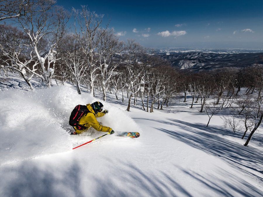
Photo by Kevin T McHugh
February 8, 2022
As we enter February, we are beginning to reach the snow season’s peak. With overall more snow and higher rates of powder, the 20-21 ski season was considered one of the best in recent years in Japan. However, there is a high chance for the 21-22 snow season to be equally impressive, or perhaps even better, and we can thank one significant natural occurrence for this: the La Niña phenomenon.
La Niña is the cooler counterpart of the often more well-known El Niño phenomenon. While El Niño is defined as the unusual warming of the Pacific Ocean waters, La Niña refers to the unusual cooling of water’s surface caused by the rise of cold water from below the surface. Together, El Niño and La Niña form the El Niño-Southern Oscillation (ENSO), defined by National Geographic as a “series of linked weather-and ocean-related phenomena.”
With the help of trade winds––winds blowing east to west near the equator––and a dash of environmental phenomena, this packet of cold water eventually influences the creation of thunder clouds, funneling the northern air to Japan. As cold water in the Pacific rises, constant trade winds at the equator push the “pre-La Niña” warmer water towards the South Asian region, forming a pocket of warm water in the oceans of Southern Asia. Warm seas promote condensation of water vapors, forming cumulonimbus, also known as thunderclouds. These clouds can bend the course of westerlies, winds flowing from the east to west, making it easier for the cool northern air to blow over Japan.
We’ve already seen the La Niña phenomenon in action this year, through the heavy snow seen in late 2021 and earlier this year. For example, in December, the Nippon Hoso Kyokai (NHK) reported that 5 locations saw 48-hour record snowfall amounts, such as in Hikone City in Shiga Prefecture, which recorded 78 centimeters. Because of the increased snowfall, the rate at which ski slopes resorts have opened their slopes has increased significantly compared to last year. Weather News reported that 94% of the slopes were open to the public this year, compared to last year, where only 62% of slopes had enough snow to ski on New Year’s Day.
The cooler, northern air doesn’t only contribute to the snow season by increasing snowfall rates and opening slopes. Colder weather also helps create the perfect recipe for powder snow: the ski-goer’s most desired snow condition. Cooler temperatures promote powder snow by decreasing the snow-to-liquid ratio. This ratio compares the depth of the snow to the amount of water that would be measured if the snow was melted in the same container. Wet snow often seen in Tokyo would have a high snow-to-liquid ratio. In context, while the average snow has a snow-to-liquid ratio of 12:1, powder snow has a snow-to-liquid ratio of about 20:1, giving it a feel-good fluffy, light texture.
However, while we may continue to be treated to the La Niña phenomenon this snow season, the cycle is ending soon: the Japanese Meteorological Agency’s January update reported that the El Niño cycle will begin in the Spring of this year, bringing an end to the spectacular ski-season streak. Let’s keep our fingers crossed that the pandemic will settle down enough for us to enjoy the phenomenon before it disappears.